Manaslu is getting more popular as a new trekking destination, but in comparison to Annapurna region, the number of the trekkers are less.
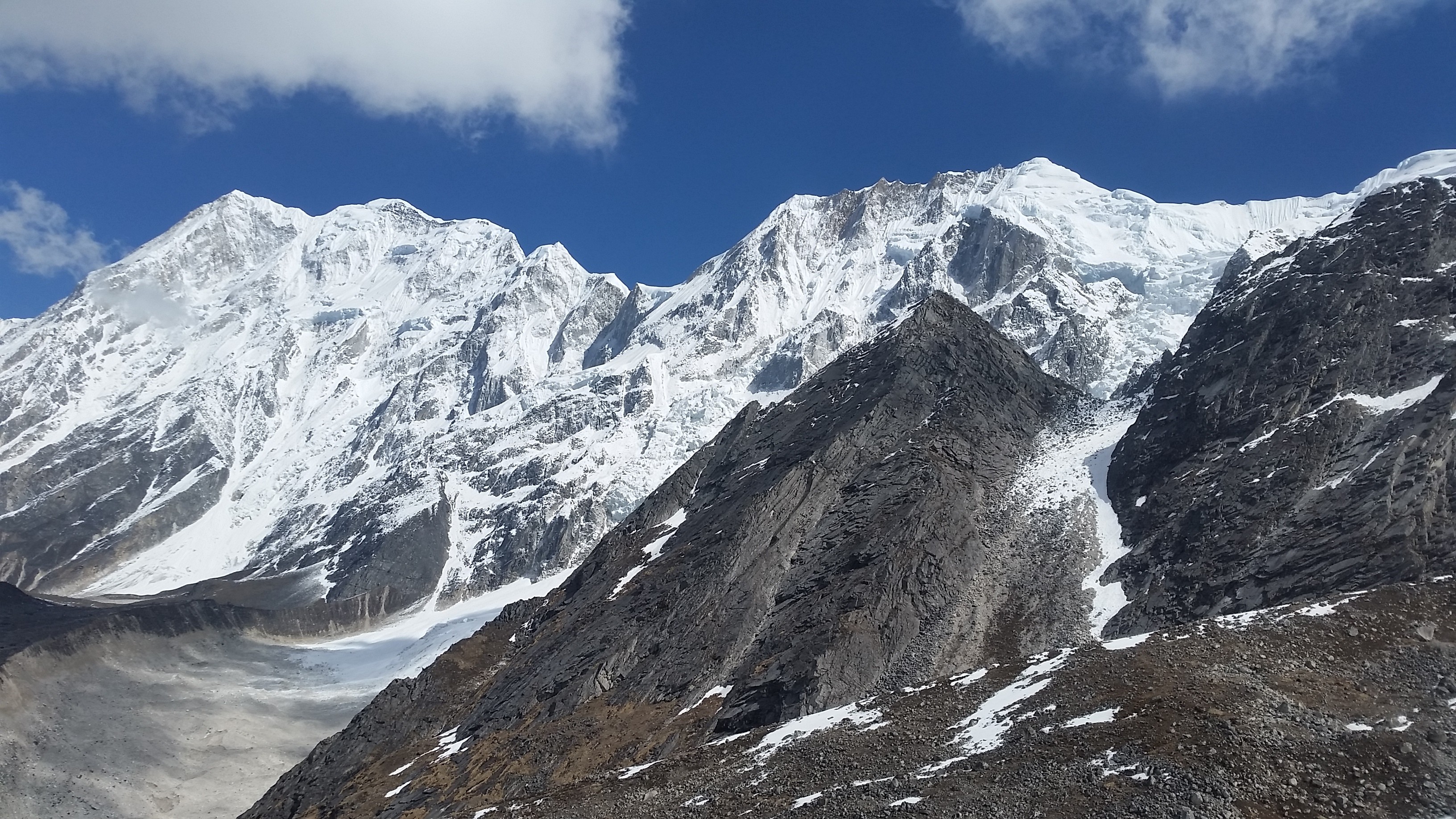
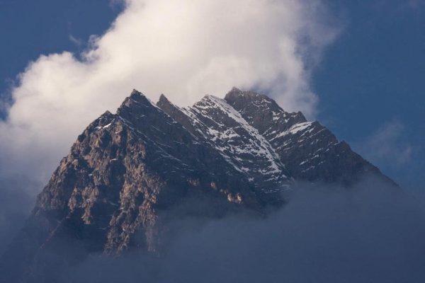
Manaslu is the eighth highest mountain in the world at 8,163 meters (26,781 ft) above the sea level, located in the Mansiri Himal in the west-central part of Nepal.
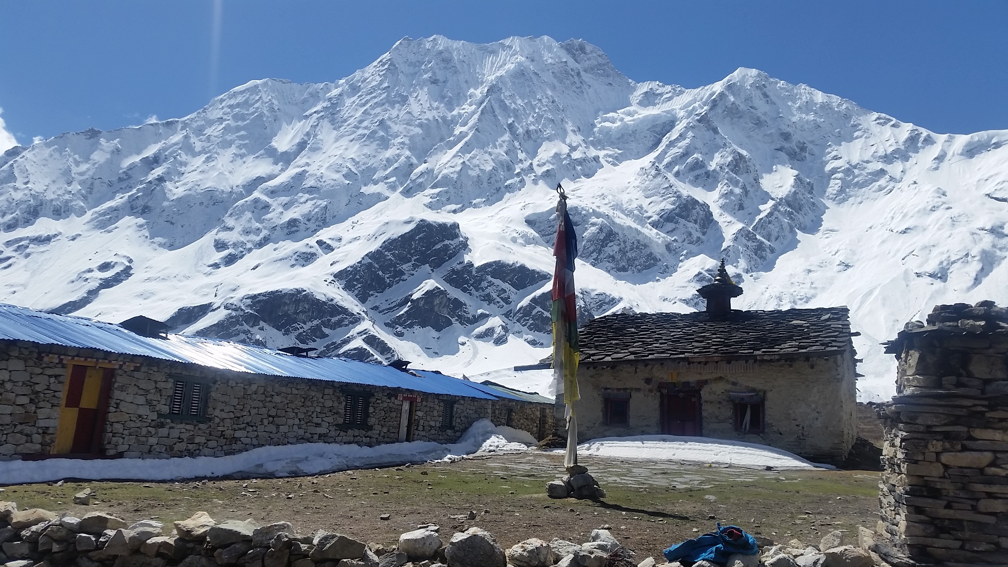
The name ‘Manaslu’ means ‘mountain of the spirit.’ Manaslu comes from Sanskrit word Manasa; it means intellect or soul. The Manaslu region was opened for trekking only in 1992 AD.
The Manaslu Circuit trek offers a stunning view of snowcapped mountain range and the ancient trail along with mix culture, heritage and hospitality of authentic Hindu and Tibetan-style Buddhist village.
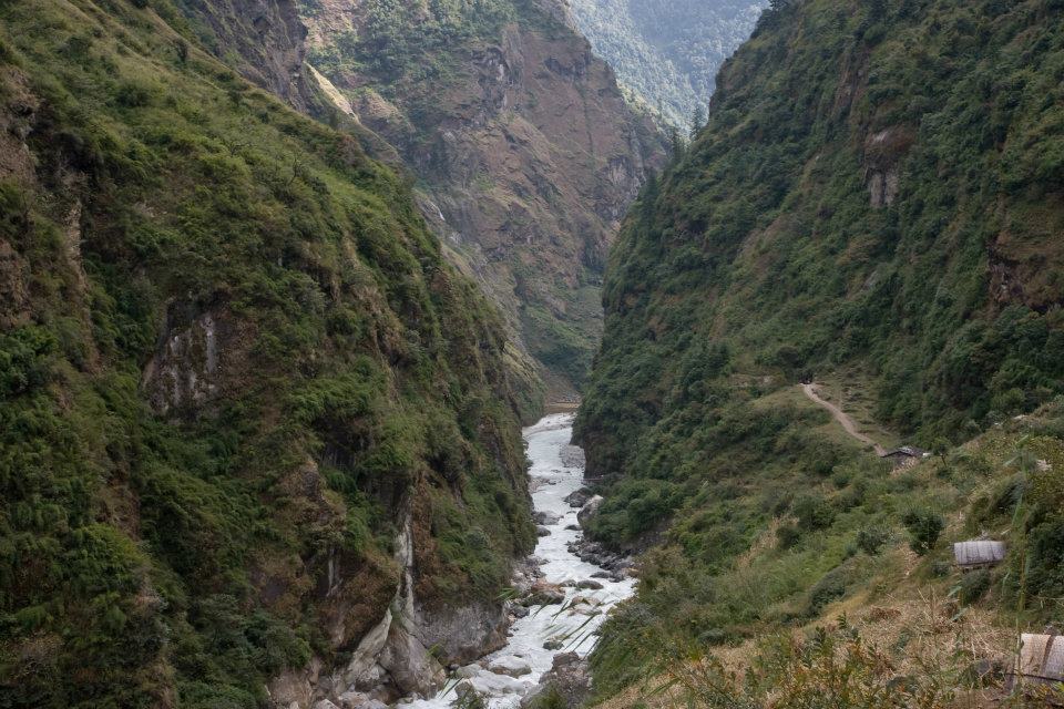
The trail follows the spectacular Burhi Gandaki River towards its sources.The highest point in this trek is the ‘Larkya La Pass’ at an elevation of 5,106 meters (16,752 ft).
The Manaslu Himalayan region is an adventurous trekking region in Nepal. The beauty of Manaslu is unpredictable. The trekking to Manaslu area is considered one of the finest destination of Nepal.
The area is highlighted by two culture; Gorkha which is the ancestral seat of the reigning Shah dynasty and the temple of Manakamana.
Detailed Itinerary for Manaslu Trek
Best time to visit
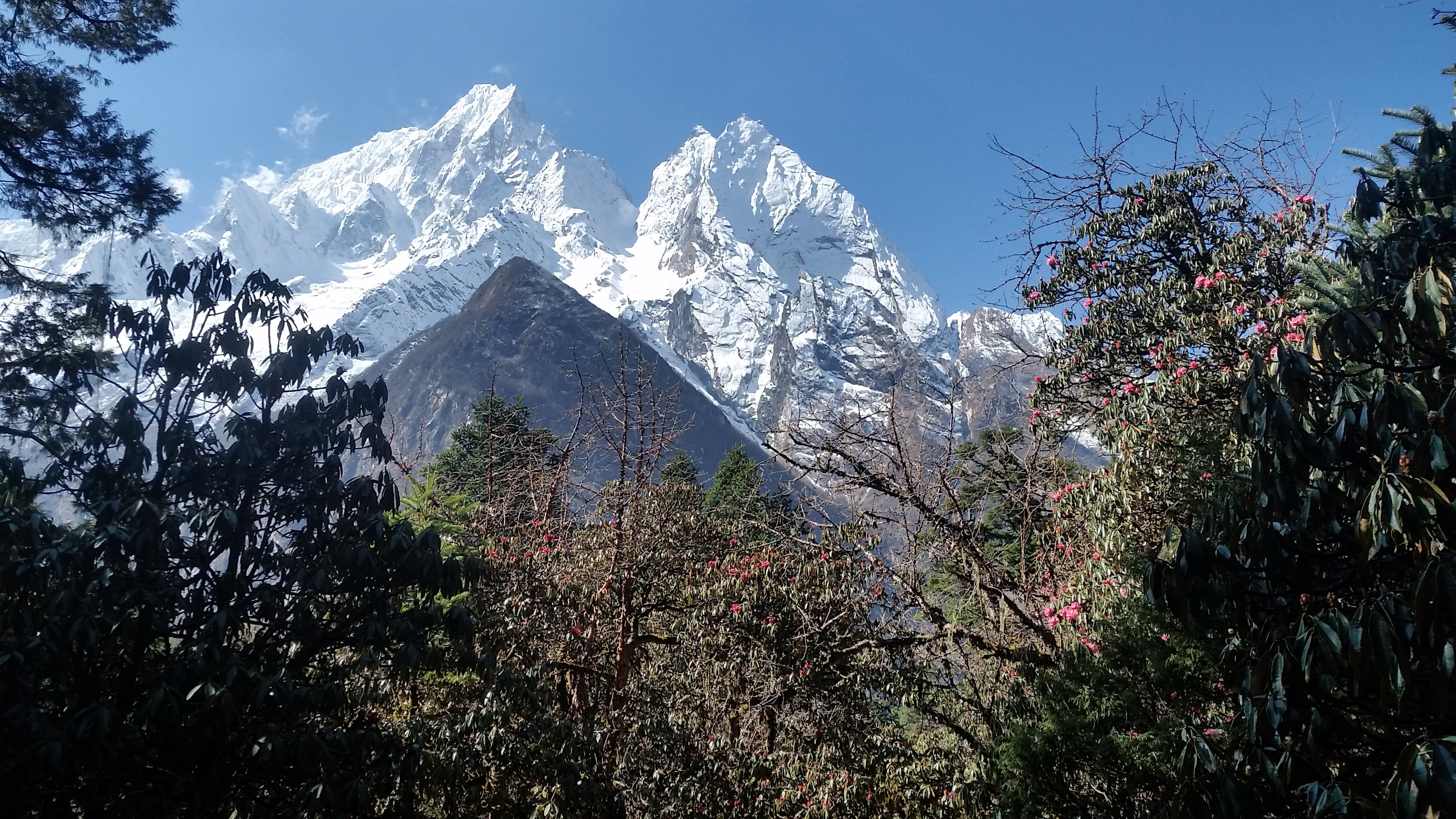
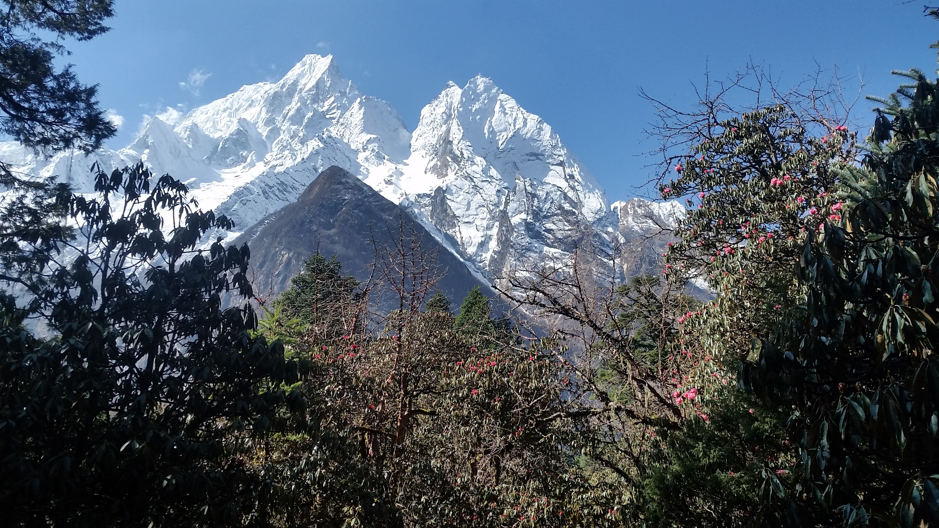
Spring and Autumn are the best seasons for Manaslu Circuit Trek. Spring is the season of rhododendron which makes the forest more beautiful.
During spring season March, April, and May are the best months for trekking because in these months the weather is clear and calm as well as you can view the high mountains covering with full of snow.
Another is an autumn season to trek to Manaslu. After the rainy season, September, October, and November are the perfect month to get there. You can see the phenomenal view of natural beauty and also trekkers can experience the local culture of that place.
Manaslu Trekking
The trek can be made shorter or longer depending on the length of your walking days from the starting point. There are basic tea houses along the trek so you can choose to stay in the teahouse or stay in the camp.
The trekking starts point is Seti Khola and ends in Chyamche.
The trek starts from the Kathmandu to Arughat, a pleasant bazaar; it takes about 5-6 hours drive to reach there. Begins the trek through Gurung and Magar villages, passing the Sal forest then climb up and down to expose the track to Lapubesi 6-7 hours.
Again trail continues from Lapubesi to Khorlabesi around 6-7 hours of walk. The walk continues for 6-7 hours to Jagat to Deng about 5-6 hours of trekking through the bamboo forest. And the place is cover by the Gurung community which follows Buddhism.
The trail heading from Deng to Namrung climbs up to Ghap where you will see many lodges to stay. Then walk through the rhododendron with many types birds and cross the wooden bridge and climbing up on the well-made stairs and arrive in the Namrung village.
Next, you will pass through the mani walls, forest, and fields before climbing the Li and then onto Sho. Here locals people wear the traditional dress and children wear small chubas like gowns and fine art paintings.
The views of Manaslu, Manaslu North, the hill on the west are beautiful.
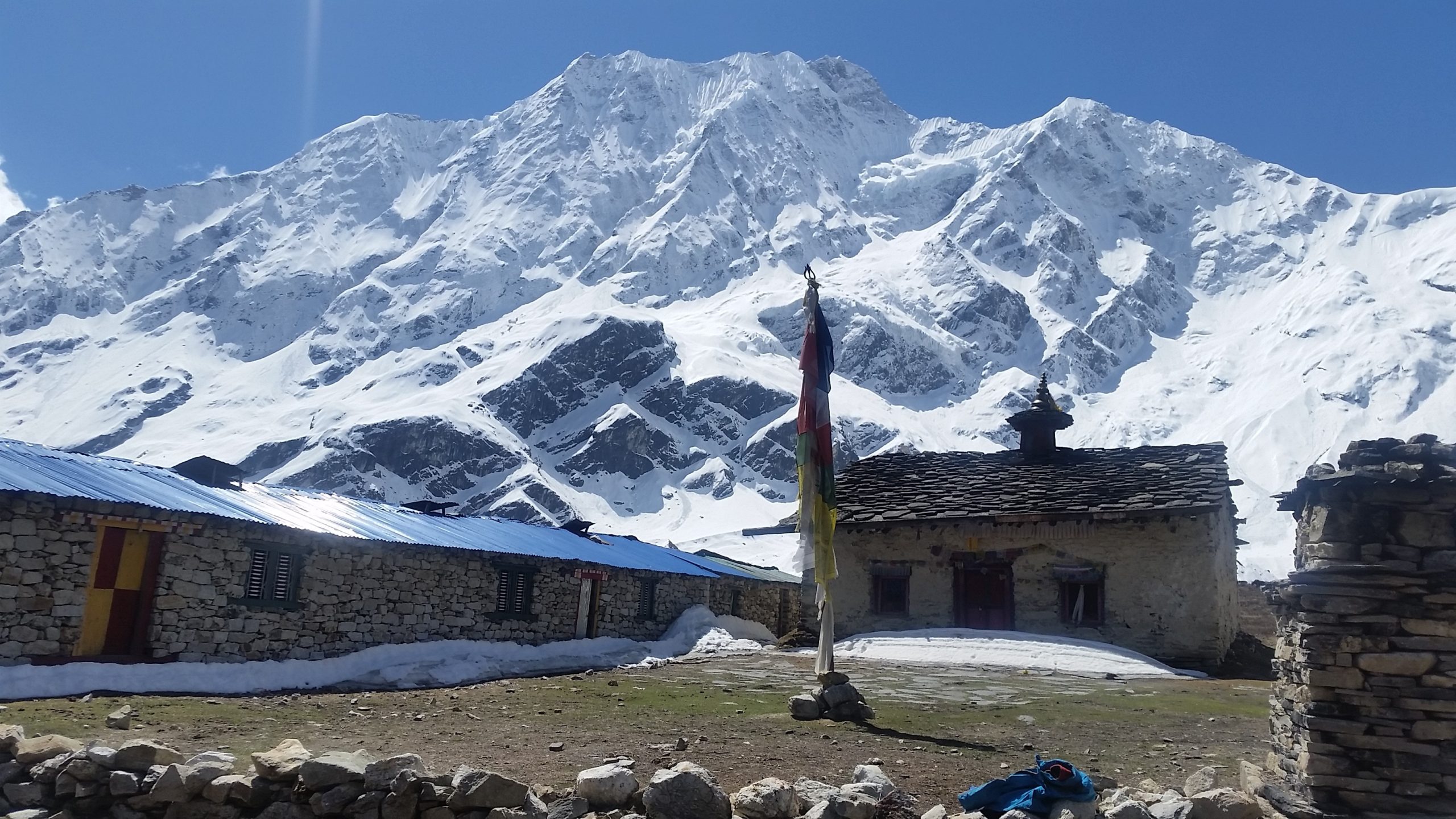
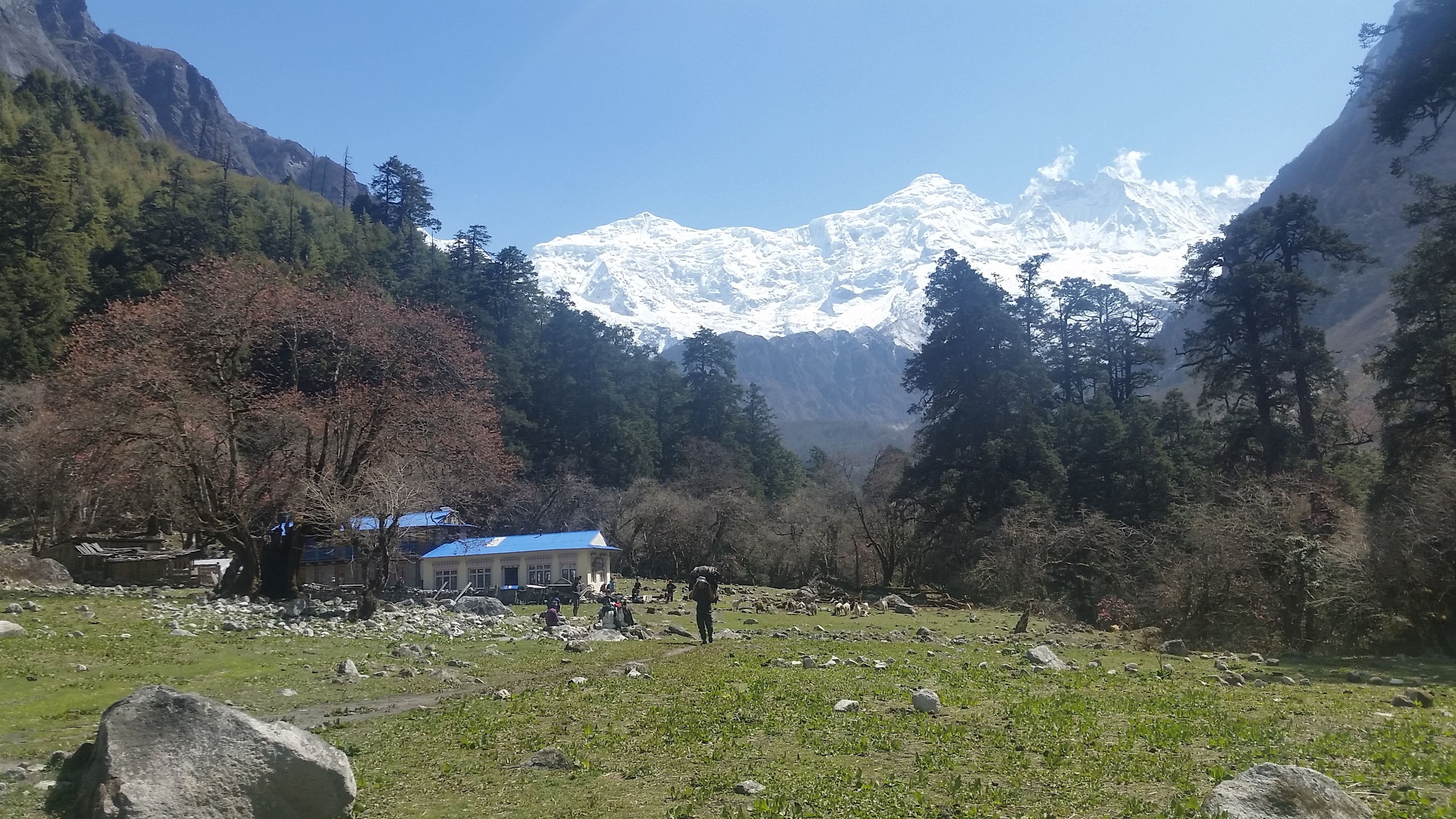
Trek from Namrung to Samagaon takes 6-7 hours where you can see the yaks, pastures, and houses made of the stone. While you are hiking up to Manaslu one day is acclimatization day for rest.
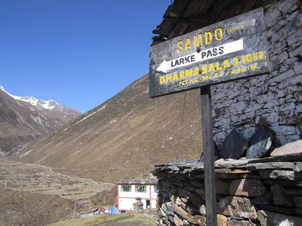
Then it is a short walk of about 4-5 hours from Samagaon to Samdo. The village has more animal and fodder shelters than human accommodation. Trek from Samdo to Dharmasala takes around 4-5 hours.
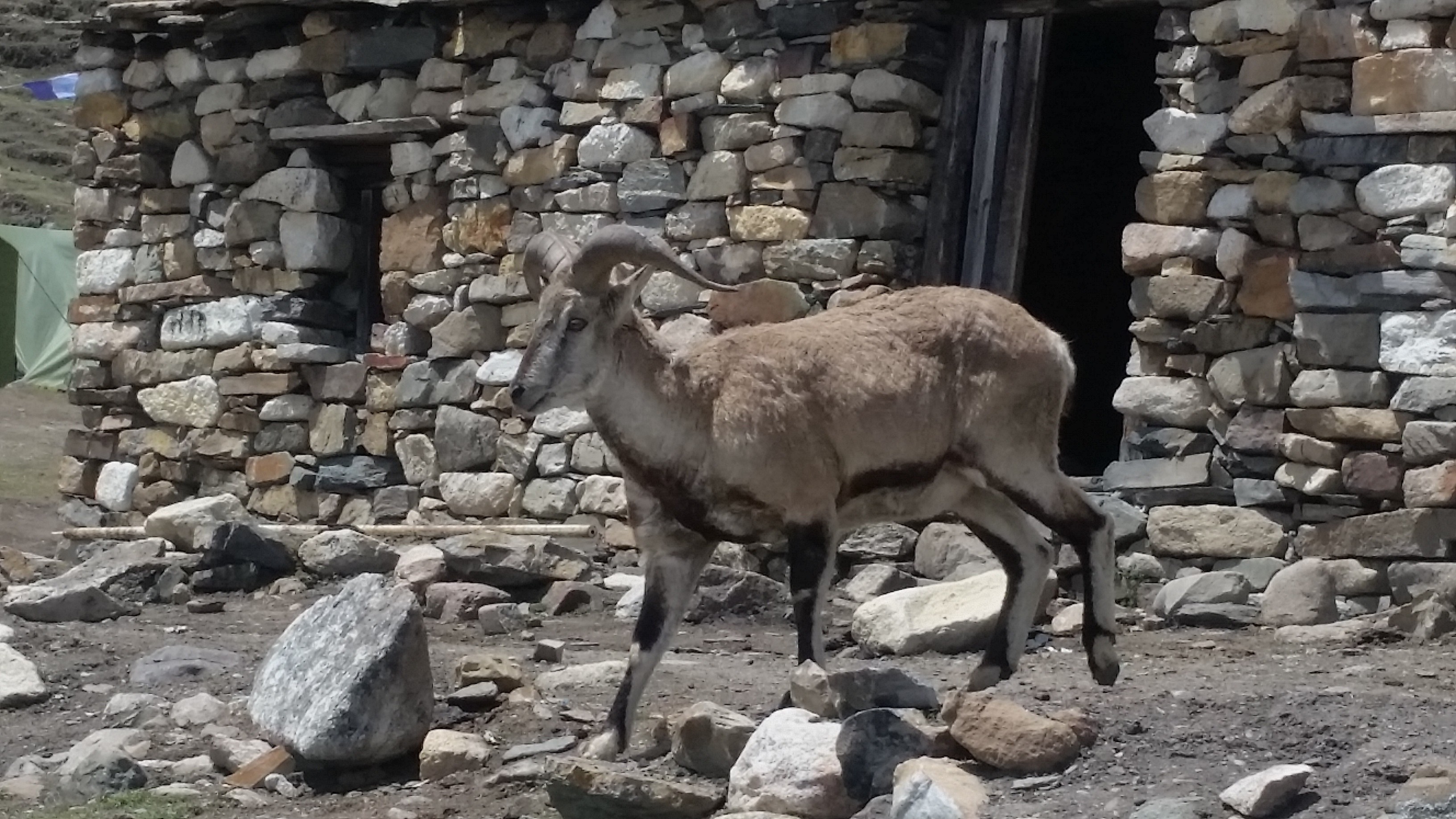
Dharamsala is a stone hut with three rooms and an intact roof. Due to the lack of doors, it can fill with snow during winter season. The view is marvelous, and a bunch of large blue sheep covers the green hills.
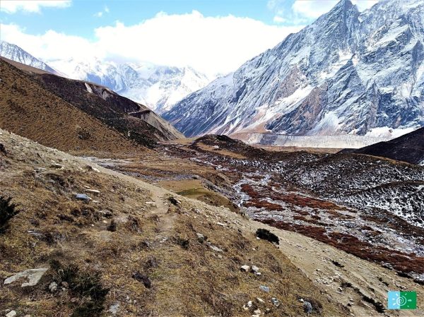
Again you will climb steadily towards the Bimtang leaving behind Dharamsala, which is a long walk about 8-10 hours. The climb is not difficult, but it is long and rocky. After the non-stop trail from Dharamsala, you will reach Larkya-La and see several mountain peaks.
Larkya La is at the maximum altitude where you might be prone to altitude sickness. Then you need a continuous walk to Bimtang for 3-4 hours to get there The stunning view of icefalls, mountain ranges, and glacier makes this place breath-taking.
Then trek from Bimtang to Dharapani passes through the rhododendron forest which is the best forest of Nepal. In the spring season, the mauves, red, pink, and white colored rhododendrons can be seen along with the amazing view of black Mt. Manaslu.
Then you will pass the Gurung village, cross the Dhud Khola and descend towards the Marsyandi Valley through the scrubby forest, and get to Dharapani after 8-9 hours of walk.
The trail continues from Dharapani to Tal village to Chyamje dropping down to Syange taking 6-7 hours. Then drive from Syange to Kathmandu via Besisahar by land cruiser, jeep or bus which take 7-9 hours.
Physical condition and fitness
The difficulty of the trekking depends upon the physical condition of traveler. Shorter treks are easier while longer treks require some mental and physical fitness.
The trekking to Manaslu usually requires 5-6 hours of walk per day and even up to 8-10 hours on some days in case of high altitude. For trekking, trekkers should be well prepared to walk for several hours. Thus, good health and high level of fitness are most important.
Manaslu Trek Difficulty
Manaslu is a restricted region in Nepal. Trek to Manaslu is permitted with only professional guides and through the registered company.
Manaslu is challenging trekking, though the highest trek route is the Larkya La at the elevation of 5,106 meters (16,752 ft) where the oxygen level will decrease by about 11.0%.
Winter season and rainy season are dangerous to trek to Manaslu. The temperature is freezing could drop below 15 degrees Fahrenheit and suffers from the high altitude cough and mountain sickness.
There are many steel cable suspension bridges and some time you have to go through a non-existent bridge as well.
Manaslu Trek Permit
The trek requires a Restricted Area Permit of $50 per week and trekkers travel in a group of at least two people with a registered guide. You need both as the check for Manaslu Conservation Area Project (MCAP) and Annapurna Conservation Area Project (ACAP).
Things you have to take with you
Traveling is adventurous, but before going anywhere, you should always carry the requirements during the travel. Manaslu is located in the Himalaya where it is very cold.
As per the duration of the travel, make the list of things that you need. Carry a map and a guidebook which helps to know about that place.
Also, Sleeping bag, down jacket, sunglasses, head-torch, buff, trekking poles, medical kit, hiking boots, hats, warm clothes, water bottle and hand sanitizer.
The lodges are available in different places so you don’t worry about food, and also you can carry packed lunch.
Manaslu Highlight includes:
- Manaslu is a restricted area for trekking trail without professional guides.
- The breathtaking view of the back Mount Manaslu, Ganesh Himal, Mt. Himchuli and other mountain ranges.
- Larkya La Pass, the highest point of the Manaslu Circuit Trek.
- Many tea houses can be found for the trekkers, so they don’t need to worry about food.
- Opportunity to explore the traditional culture, rich heritage and the lifestyle of the locals.
- Pristine Budhi Gandaki River Valley.
- Scenic view while driving from Kathmandu to Arughat and Beshishar to Kathmandu.

